Awards
A second consecutive year in the top 5% of Portuguese SMEs
SCORING has again certified Atelier Geometria in the TOP 5% Melhores PME de Portugal for a second consecutive year.


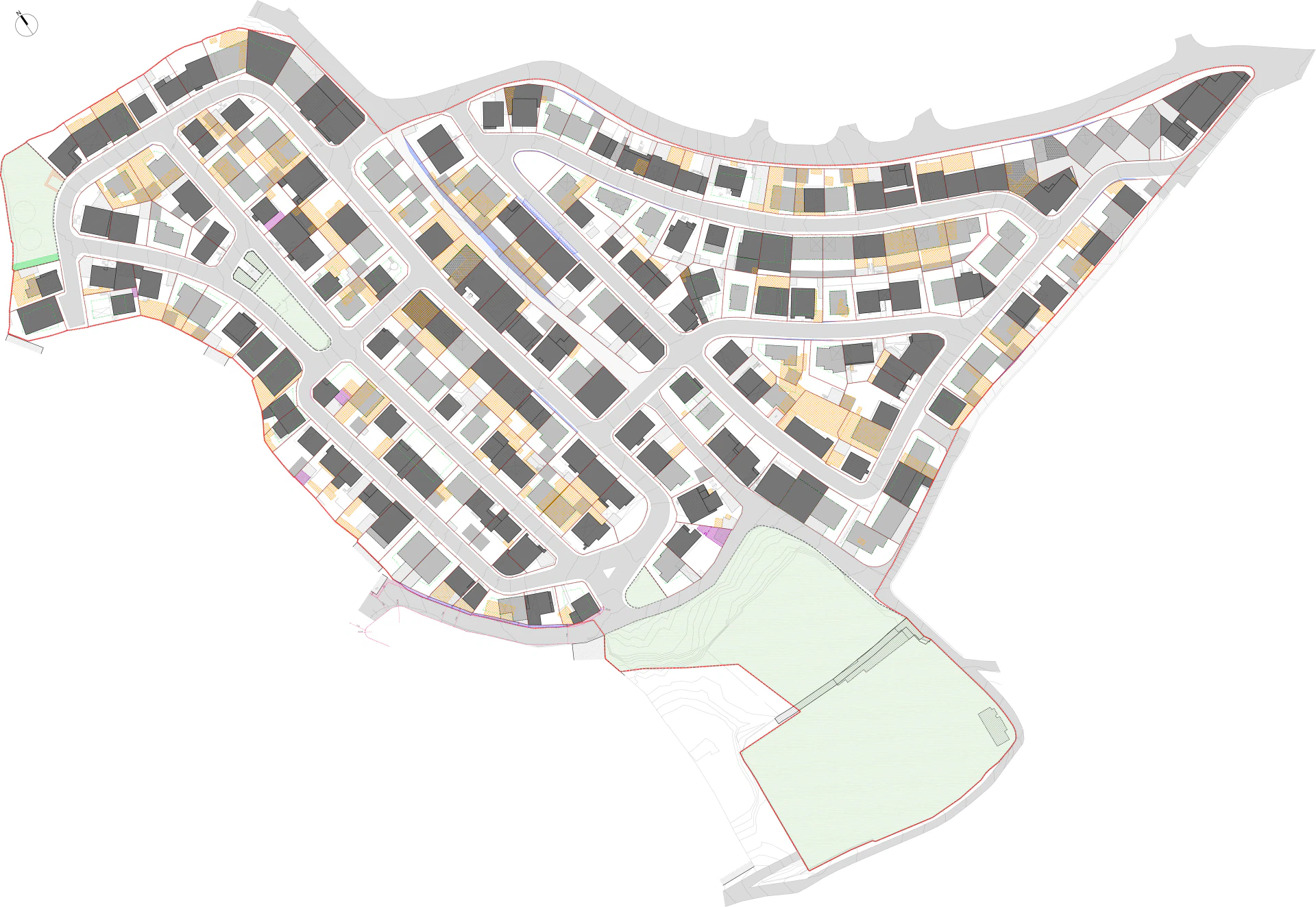
The licence completed one stage of the reconversion process and allowed owners to begin licensing their buildings.
Bairro de São José, in Camarate, was designated an illegal-origin urban area in 1996, with reconversion led by the owners. Loures Municipal Council issued land-division licence no. 2/2018, covering 97,925.70 square metres and 208 plots. From that point, owners could prepare licence applications for their buildings.
We developed the reconversion proposal between 2013 and 2016 for the neighbourhood’s Joint Management Commission.
We began by rebuilding the base: a georeferenced topographic survey tied to the geodetic network, and a plot-by-plot urban characterisation with photographic records. The previous survey relied on 1:1000 mapping, without the resolution an urban operation requires.
Rather than applying a uniform matrix of setbacks to each plot, we studied the block: the existing alignments, the morphotypologies and the relationship of each building to the shape of the ground. This allowed us to develop differentiated solutions and coordinate them with the bodies involved and the specific conditions of the territory.
Discover some of the projects that define the path of Atelier Geometria.
View Projects